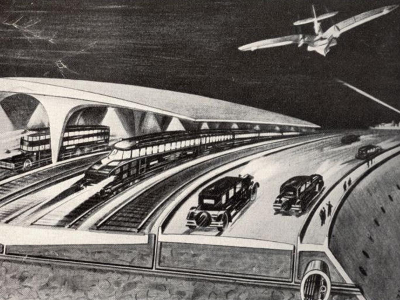
The “Atlantropa” scheme proposed to form land bridges between Africa and Europe by damming and partially draining the Mediterranean

Perpetual war, grinding poverty and a time bomb of overpopulation resulting in millions of refugees crossing continents. A fitting description perhaps for the emergency facing Europe today – but those problems also fuelled a German architect’s extraordinary 1920s scheme to resettle millions of Europeans in Africa.
The “Atlantropa” scheme proposed to form land bridges between Africa and Europe by damming and partially draining the Mediterranean, allowing millions of Europeans to find a new life in what would become the southern zone of a Eurafrican supercontinent. It would, of course, lead to European domination of Africa – a fact deemed acceptable in an era scarred by racism and colonialism.
Map of proposed dams in the Strait of Gibraltar. From Herman Soergel, Lowering the Mediterranean, Irrigating the Sahara. Panropa Project (1929)
A German architect by the name of Herman Sörgel came up with it the idea of the “Atlantropa” scheme, not a Nazi himself, the rise of Adolf Hitler in the 1920s and 30s convinced Sörgel that radical new solutions were needed to solve Europe’s problems of high unemployment and what he believed was an impending energy crisis.
He first published Mittelmeer-Senkung, Sahara-Bewässerung. Panropaprojekt (“Lowering the Mediterranean, Irrigating the Sahara. Panropa Project”) in 1929. He expanded on his thesis in another book three years later, which introduced the name “Atlantropa”.
Exhibition poster, 1932
The plan called for the construction of dams at key points in the Mediterranean: first at the Strait of Gibraltar and the Dardanelles, eventually between Sicily and Tunisia. The sea would thus be converted into two basins, with the western part lowered by around one meter per year and the eastern part by two meters. Over the course of a century, that would lower the sea level by 100 and 200 meters, respectively, creating some 660,000 square kilometers of arable land.
This area — larger than France — could be cultivated to feed Europe’s growing population.
The plan contained some fantastical details with dams across the Strait of Gibraltar, the Dardanelles, and eventually between Sicily and Tunisia, each containing gigantic hydroelectric power plants, would form the basis for the new supercontinent. In its final state the Mediterranean would be converted into two basins, the western part lowered by 100 metres and the eastern part by 200 metres and an area larger than France reclaimed from the sea.
Subsequent engineering works included in Sörgel’s proposal were an extension of the Suez Canal, a new canal connecting Venice to the sea (the Adriatic Sea would have disappeared) and the creation of enormous lakes in Central Africa, which he hoped could be used to irrigate the region
Map of Herman Sörgel’s Atlantropa
A more modern map of Herman Sörgel’s Atlantropa
In line with the colonial and racist attitudes of the times, Mr Sörgel envisaged Africa to be entirely at the disposal of Europe, a continent with plenty of space to accommodate Europe’s masses.
While his proposal may sound absurd to our ears, it was taken seriously by architects, engineers, politicians and journalists at the time. The extensive Atlantropa archive in the Deutsche Museum in Munich abounds with architectural drawings for new cities, the dams and bridges of the future continent as well as letters of support and hundreds of articles about the project, which appeared in the German and international popular press, as well as in specialised engineering and geographical magazines.
What made Atlantropa so attractive was its vision of world peace achieved not through politics and diplomacy, but with a simple technological solution.
Atlantropa would be held together by a vast energy net, which would extend from the gigantic hydroelectric plant in the Gibraltar dam and provide the entirety of Europe and Africa with electricity. An independent body would have the power to switch off the energy supply to any country that posed a threat to peace.
Moreover, Mr Sörgel calculated the construction of the supercontinent would require each country to invest so much money that none would have sufficient resources to finance a war. He dedicated a large part of his work to the promotion and dissemination of the project through the press, radio, films, talks, exhibitions and even poetry and an Atlantropa symphony.
(YouTube) Clips from the 1951 Atlantropa film (deutsch) - Gibraltar Dam project
(YouTube) Atlantropa a new continent
However there were a few drawbacks to all this, in 1977 Popular Mechanics reported that Atlantropa would have shut some of the world’s busiest seaports, disrupted the economies of countries in Southern Europe and North Africa and possibly changed the ecology of the entire area.
The reduced weight of water over the volcanic Mediterranean sea floor could have caused violent eruptions and earthquakes while the ocean level in other parts of the world would have risen, causing flooding in low-lying areas.
Sörgel’s hope was that Atlantropa might satisfy Germany’s desire for Lebensraum as he calculated the construction of the supercontinent would require each country to invest so much money that none would have sufficient resources to finance a war.
Instead, under Hitler, it invaded Eastern Europe.
The Nazis never took Sörgel seriously, but who knows? In an alternate world, where the Axis won World War II, they might well have reconsidered in order to satisfy their thirst for expansion.
Geen opmerkingen:
Een reactie posten